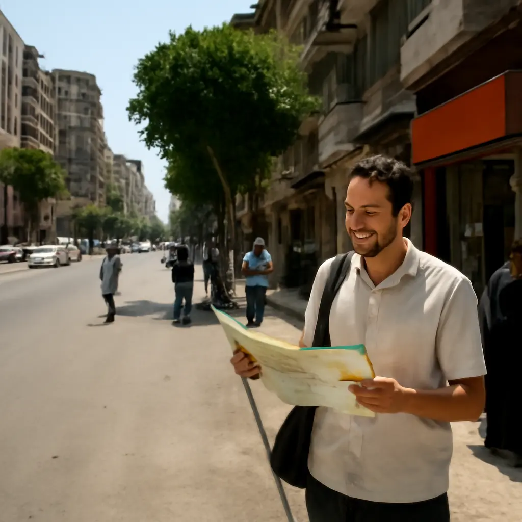
Cairo’s streets are an informal school of urban design: a dense, changing public realm where movement, commerce, shade, sociability, and negotiation meet every day. The lesson is not that congestion or uneven infrastructure should be romanticized; it is that observing how people actually use a city can reveal what a plan or classroom exercise misses. From sidewalk economies and shared streets to heat, heritage, and adaptation, Cairo offers practical lessons in designing for lived experience—especially in a metropolis that the United Nations estimated had roughly 23 million residents in its wider urban agglomeration in 2024.
Cairo’s streets teach designers to read the city as a public realm
A street is more than the strip of pavement between buildings. The National Association of City Transportation Officials describes streets as public spaces that support movement as well as social, economic, and civic life. In Cairo, that definition becomes tangible: a street can function as route, marketplace, meeting place, loading zone, and neighborhood living room within the same block.
This layered use matters because design decisions affect far more than traffic flow. The World Bank’s 2022 report on Egypt’s urban development emphasizes the country’s rapid urbanization and the need to make cities more inclusive, resilient, and productive. For a designer, Cairo’s everyday street life is therefore not merely atmosphere; it is evidence about how public space works, who it serves, and where formal plans meet actual behavior.
Observe behavior before drawing solutions
Behavioral observation means recording how people use a place before deciding how it should change. It includes noting where pedestrians cross, where vendors cluster, which edges invite people to pause, and how people adapt when a route is blocked. This approach connects urban design with ethnography and human-centered design: the designer treats residents’ routines as evidence rather than as obstacles to a finished plan.
A useful field exercise is to observe one intersection at several times of day. Record crossings, waiting, deliveries, shade-seeking, and points of conflict. Then compare the map of official infrastructure with the map of actual use. Cairo’s crowded streets make these patterns unusually visible, but the method applies to any city.
Read the street as a sequence, not a static image
A street sequence is the experience of moving through connected spaces over time: a narrow lane opening onto a busy junction, a shaded threshold beside a sunlit sidewalk, or a quiet residential stretch interrupted by a market. This idea connects urban design to perception and wayfinding. It asks what a person sees, hears, and can reach from one point to the next—not simply how a plan looks from above.
The distinction is important in historic districts, where street widths, building fronts, and landmarks shape orientation. UNESCO’s description of Historic Cairo highlights the area’s exceptional concentration of historic architecture and urban heritage. Designing there requires attention to the experience of the street network as well as the individual monument.
Cairo’s streets teach designers to understand informal economies
Informal street commerce is economic activity that takes place outside some or all formal regulatory arrangements, including street vending and small-scale services. The International Labour Organization uses the broader idea of informal employment to describe work that is not adequately covered by formal arrangements in law or practice. Street-level commerce in Cairo is diverse, and it should not be treated as one uniform category: it includes different livelihoods, legal situations, and relationships with the surrounding community.
The design lesson is to understand how economic activity uses space before deciding whether to remove, relocate, or accommodate it. A vendor can support access to daily goods and help sustain street activity, while also competing for space with pedestrians and other users. Good public-space planning makes these trade-offs visible and seeks solutions that preserve access and safety without erasing livelihoods.
Map the sidewalk as shared infrastructure
A sidewalk is shared infrastructure when it supports several functions at once: walking, waiting, shop access, deliveries, seating, and sometimes informal trade. A designer should therefore measure more than nominal width. The effective pedestrian route may be narrowed by parked vehicles, utility equipment, steps, or temporary displays.
NACTO’s street-design guidance emphasizes clear pedestrian space and accessible routes. Applying that principle in Cairo means identifying a continuous, unobstructed path while recognizing the uses that gather along its edges. The practical question is not simply “How do we clear the sidewalk?” but “How do we keep a safe and accessible walking route while accommodating the activities that make the street function?”
Design for negotiation, not just enforcement
Negotiated street design is a process of balancing competing claims through rules, layout, and local agreement. It connects public-space design with governance: where vending is permitted, where deliveries can stop, and how accessible passage is protected. A painted boundary, designated loading period, or organized market zone may be more effective than a blanket prohibition when it reflects how the area operates.
This approach does not excuse unsafe obstruction. It separates the goal—safe, accessible public space—from the assumption that every informal use must disappear to achieve it. Consultation with traders, residents, people with disabilities, and transport users can reveal workable arrangements that a desk-based plan might overlook.
Cairo’s streets teach designers to prioritize access and movement
Street accessibility is the ability of people with different ages, mobility levels, and sensory needs to reach and use public space. It includes continuous footways, safe crossings, legible routes, and connections to public transport. In a busy city, access is not a decorative extra: it determines who can participate in daily life.
The World Health Organization reported in 2022 that approximately 1.3 billion people worldwide experience significant disability, about 16 percent of the global population. That figure reinforces why inclusive design must account for a wide range of users. Cairo’s street lessons are especially useful here: observe how people navigate obstacles, then treat those adaptations as signals of where infrastructure is failing.
Make pedestrian continuity a design measure
Pedestrian continuity means that a person can follow a route without being forced into the roadway or blocked by abrupt changes in level. It connects sidewalk design with universal design and safe mobility. The relevant unit is the complete journey—from building entrance to crossing, transit stop, or destination—not a single newly paved segment.
A field audit can record curb ramps, crossing distances, obstructions, surface conditions, and the time available to cross. These observations help turn general claims about walkability into fixable details. Designers should also test routes with people who use wheelchairs, canes, strollers, or other mobility aids rather than relying only on drawings.
Treat crossings as public-space connections
A crossing is a connection between public spaces, not merely a traffic-control marking. Its design affects whether pedestrians can cross directly, safely, and at a pace that works for them. This links intersection design to street hierarchy, vehicle speed, sight lines, and pedestrian priority.
The International Transport Forum and the World Health Organization have both emphasized the importance of speed management in reducing road risk. In practice, designers can combine shorter crossing distances, visible markings, refuge areas where appropriate, and lower vehicle speeds. The best intervention depends on local conditions, but the objective is consistent: make the safe route the obvious route.
Cairo’s streets teach designers to design for heat and climate
Climate-responsive street design adapts public space to local environmental conditions, including heat, sunlight, wind, and intense rainfall. In Cairo, shade is not a decorative flourish. It affects whether people can comfortably walk, wait, shop, or use transit during hot periods. The lesson connects street design with public health and climate adaptation.
The World Meteorological Organization has documented the growing risks associated with extreme heat across the region, while the Intergovernmental Panel on Climate Change identifies heat exposure as a major urban climate risk. These sources make a strong case for treating shade, surface materials, and access to water as core planning questions rather than optional amenities.
Use shade as pedestrian infrastructure
Shade infrastructure includes trees, arcades, awnings, and other features that reduce direct solar exposure along routes and at waiting places. It connects landscape design with thermal comfort. A shaded path can make a practical difference to a person walking between a transit stop and a destination, particularly where alternatives are limited.
Designers should map shade by time of day and season rather than simply count trees. In dense districts, building edges and arcades may provide shade where planting is difficult. A street section that shows sun exposure, waiting points, and pedestrian routes can help identify where relatively small interventions would improve comfort most.
Choose materials and planting for local conditions
Climate-sensitive material selection considers how paving, walls, and planting respond to local heat and water conditions. This connects landscape architecture with maintenance and resource planning. Materials that absorb and retain heat can affect comfort, while planting requires suitable species, reliable care, and a realistic water strategy.
The practical lesson is to avoid importing a visual solution without checking its environmental performance. Designers can compare surface temperatures, test durable materials, and select planting suited to local conditions. A street that looks green in a rendering but cannot be maintained is not a resilient design.
Cairo’s streets teach designers to work with heritage and change
Urban heritage is the inherited fabric of buildings, streets, public spaces, and cultural practices that gives a place historical meaning. UNESCO’s Historic Cairo listing recognizes the city’s outstanding architectural and urban significance. Yet heritage is not limited to monuments: the relationships between buildings, street patterns, local businesses, and everyday movement also shape a district’s character.
The design challenge is to support contemporary needs without flattening the qualities that make a historic area distinctive. This links conservation with adaptive reuse and public-realm design. A street can preserve its spatial character while improving access, lighting, drainage, and safety, provided interventions respond to the site rather than impose a generic template.
Conserve relationships as well as buildings
Contextual conservation protects the relationships among streets, buildings, views, and uses—not only individual façades. It connects heritage practice with urban morphology, the study of how the form of a city develops. In Cairo, a narrow lane, a courtyard edge, or a sequence of small shops can carry meaning that is lost if a project focuses only on landmark structures.
Before designing, document building heights, entrances, materials, street widths, and patterns of use. This baseline helps distinguish features that should be retained from those that can be changed. It also creates a clearer basis for discussing proposals with local residents and heritage professionals.
Make adaptive reuse part of street vitality
Adaptive reuse gives an existing building a viable new function while retaining significant parts of its fabric. It connects conservation with economic and social sustainability. When buildings remain occupied and useful, they can support active street edges, services, and local livelihoods rather than becoming isolated objects.
The principle applies beyond grand restoration projects. Reusing a small shop, workshop, or upper-floor space can help maintain a mixed-use neighborhood. A successful project considers access, servicing, fire safety, and the needs of current users alongside architectural preservation.
Conclusion: Cairo’s streets offer a practical design education
Cairo’s streets teach designers to observe behavior, understand informal economies, protect continuous pedestrian access, respond to heat, and treat heritage as a living urban system. These lessons do not suggest copying every condition found on the street. They encourage designers to study how people make a city work and to respond with evidence, humility, and care.
For students and practitioners, a useful next step is simple: choose one street, observe it at different times, speak with the people who use it, and map both its assets and its barriers. That small exercise can reveal more about the relationship between design and daily life than a polished plan made without fieldwork. Cairo’s broader lesson is that good urban design begins by paying attention.
Sources: United Nations Department of Economic and Social Affairs, World Urbanization Prospects 2024, https://population.un.org/wup/; National Association of City Transportation Officials, Global Street Design Guide, https://globaldesigningcities.org/publication/global-street-design-guide/; World Bank, Egypt Urbanization Review: Leveraging Urbanization for Egypt’s Development, 2022, https://openknowledge.worldbank.org/; UNESCO World Heritage Centre, Historic Cairo, https://whc.unesco.org/en/list/89/; International Labour Organization, Women and Men in the Informal Economy: A Statistical Picture, Third Edition, 2018, https://www.ilo.org/global/publications/books/WCMS_626831/; World Health Organization, Global Report on Health Equity for Persons with Disabilities, 2022, https://www.who.int/publications/i/item/9789240063600; International Transport Forum, Speed and Crash Risk, https://www.itf-oecd.org/speed-crash-risk; World Meteorological Organization, State of the Climate in the Arab Region, https://wmo.int/; Intergovernmental Panel on Climate Change, Climate Change 2022: Impacts, Adaptation and Vulnerability, https://www.ipcc.ch/report/ar6/wg2/.